Advanced Cloud Height & Vertical Visibility Measurement Using LIDAR Technology
The Geonica Ceilometers (GEO-LC7600 / LC12000) are high-performance instruments designed to measure cloud base height and vertical visibility with exceptional accuracy. Based on LIDAR (Light Detection and Ranging) technology, these sensors use an eye-safe laser to detect cloud layers and atmospheric conditions in real time.
These ceilometers are widely used in airports, meteorological stations, offshore platforms, and research applications, where reliable cloud and visibility data is essential for safety and forecasting. They can detect up to three cloud layers simultaneously, making them ideal for aviation and weather monitoring systems.
Key Features:
☁️ Accurate Cloud Height Detection
Measures cloud base height and vertical visibility with high precision using advanced LIDAR technology.
📊 Multi-Layer Cloud Detection
Detects up to three cloud layers simultaneously, providing detailed atmospheric profiling.
Key Features:
📡 Real-Time Data & Easy Integration
Supports RS-232 / RS-485 communication and integrates easily with data loggers, AWOS, and SCADA systems.
🛡️ Rugged & Low Maintenance Design
Features self-diagnostics, modular electronics, and IP66 protection, ensuring reliable long-term operation in harsh environments.
Add Your Heading Text Here
✈️ Aviation & Airports (AWOS Systems)
Provides critical data for flight safety, landing operations, and weather observation systems.
🌦️ Meteorological Stations
Used for weather forecasting and atmospheric research, including cloud and visibility analysis.
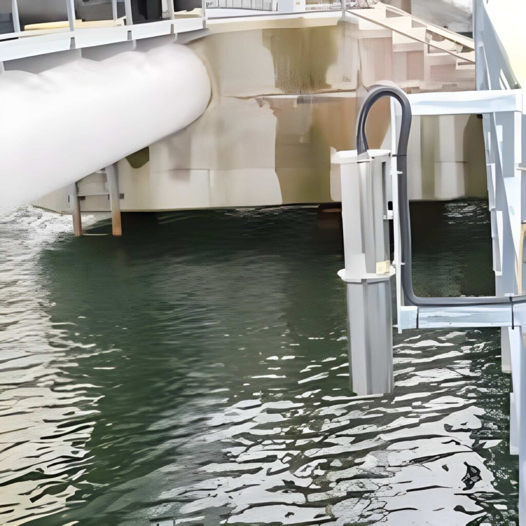
🌊 Offshore & Marine Platforms
Ensures accurate weather monitoring in marine and offshore environments.
🔬 Environmental & Research Applications
Supports climate studies and atmospheric profiling for scientific and environmental monitoring.
Why Choose Geonica Ceilometers?
At Aether Techno Solutions, we align technology with real-world applications, ensuring clients achieve measurable results in every project.
High Accuracy & Reliability
Provides precise cloud height and visibility measurements for critical applications.
Seamless System Integration
Compatible with modern monitoring systems, including AWOS and meteorological networks.
Long Laser Life & Low Power Consumption
Offers up to 10 years of laser life with energy-efficient operation.
Designed for Harsh Environments
Operates reliably in extreme weather conditions with minimal maintenance requirements.